
.svg)
The Rebels' Trail – a social trek between bandits and partisans
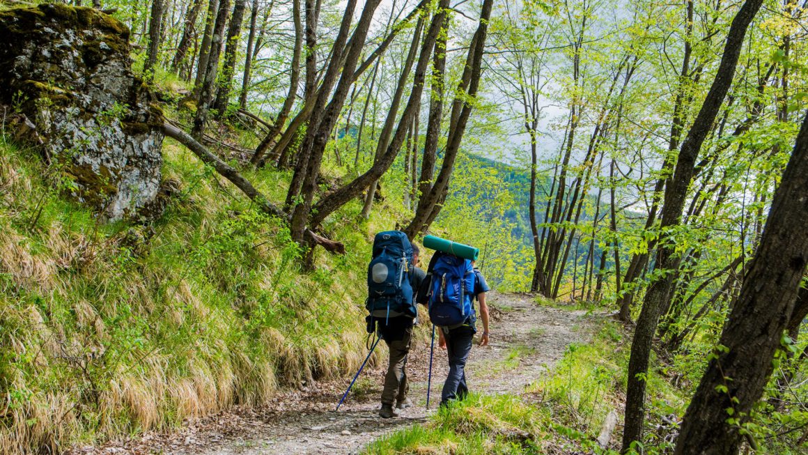
Walk with Alessio Lagonigro, science communicator and climate activist, along the Rebels’ Trail: a circular route of approximately 120 km through the little-known Borbera Valley, at the crossroads of Piedmont, Liguria, Emilia-Romagna and Lombardy. Six days on foot among stone villages and the wild Apennines, following the bed of the Borbera stream, crossing abandoned hamlets and panoramic ridgelines, and meeting farmers and communities who keep this beautiful yet depopulated land alive.
HIGHLIGHTS
- Six days in the Apennines of the Four Provinces: a large loop crossing the Val Borbera, on the border between four Italian regions. CAI trails, mule tracks, rocky canyons carved into stone, ridgelines opening onto wide valleys, and riverbeds where you wade across streams wearing sandals. Around 110 km and over 4,700 meters of positive elevation gain, spread across six stages ranging from 17 to 20 km per day.
- A social journey through stories and communities: the route passes through ten municipalities and touches living realities — restored farmsteads, distributed museums, mountain ARCI social clubs, and young families who have chosen to stay or return. The “rebels” include the partisans who fought the Pertuso battle in 1944, the bandits who challenged the monarchy, and the people today who are betting on the future of this land.
- Nature, adventure, and shared experience: the walk is an opportunity to observe and tell the story of the landscape. Beech forests, canyons, springs, and villages: each stage becomes a way to understand how the surrounding environment works. Shared effort and evenings in the villages build the group day by day.
TRIP PURPOSE
The Val Borbera is one of those places that disappears from mental maps. Few inhabitants, no mass tourism, an Apennine landscape that feels far from the Po Valley—even though it is just one hour from Genoa and two from Milan. The Cammino dei Ribelli exists to bring feet—and attention—back onto these trails.
Walking here means crossing centuries compressed into just a few kilometres: remains of pre-Roman Ligurian civilisation, Roman bridges, medieval towers, villages emptied by migration, and sites of the Partisan Resistance. But it also means meeting those who live in these valleys today and keep them alive—with a Slow Food presidium cheese, a farmhouse turned into a refuge, a cultural festival in a village of thirty people.
The meaning of this journey is twofold. On one hand, a real physical experience: six days of walking on varied terrain, with significant elevation gain and long stages. The body works, adapts, learns the rhythm. On the other hand, an immersion in a different way of inhabiting places, where tiny communities carry forward large projects. The group that forms along the way is part of the mechanism: walking together, sleeping in villages, eating local products is already a concrete way of supporting this valley.
This journey is for you if you want to learn more about:
- Nature and hiking
- Rural communities and the revival of mountain villages
Important information
- We will stay in B&Bs, agriturismi, small hotels, and distributed hospitality along the route. Each stage has its own accommodation: from Fiorile in Castel Ratti to Cascina Barbàn above Albera Ligure, from the hotels in Cosola to the houses in Fontanachiusa, Dova, and Roccaforte, and finally back to Arquata. These are small, often family-run places, integrated into the fabric of the trail—some were created specifically to host hikers along these paths.
- Rooms are shared, with 2, 3, or 4 beds depending on the stage. Accommodation is simple and authentic: sharing spaces is part of the experience. The food is excellent—cheeses such as Montebore (a Slow Food presidium), Giarolo salami, and homemade seasonal dishes rooted in local tradition—and you end the day with the right kind of fatigue in your legs.
- The difficulty level is medium-high. You will walk 17 to 20 km per day on mixed terrain—trails, dirt roads, and short stretches of asphalt—with elevation gains reaching up to 950 meters on the most demanding stage. A good level of fitness and experience with multi-day hikes is required.
- The meeting point is Arquata Scrivia (AL), accessible by train on the Genoa–Milan line. We recommend arriving by train or arranging carpooling with other participants once the group is formed.
- Essential equipment: well-broken-in hiking boots, sandals or water shoes for stream crossings (stage 1), a 35–45 litre backpack, waterproof jacket, layered clothing, trekking poles, water bottles with at least 1.5 litres capacity (preferably two containers for stages without water points), hat, sunglasses, sunscreen, swimsuit for the Borbera pools, power bank, blister plasters, tick repellent, tweezers, emergency blanket. Bring cash as ATMs are rare in the valley.
The programme may be subject to changes due to weather conditions or specific group needs.
What's included
- Accomodation: 5 nights in B&Bs, hotels, and agriturismi in shared rooms. The number of beds may vary depending on the stage.
- Special Activities: Accompaniment by Alessio Lagonigro, Environmental Hiking Guide, throughout the entire trek.
- Food: Half board (breakfast + dinner)
- Other: Full-time assistance from an ORMA guide throughout the trip. Cammino dei Ribelli credential with stamps at each stage.
- Insurance: Medical and baggage insurance.
What's not included
- Food: All lunches, breakfast on the first day, and dinner on the last day
- Accomodation: Any applicable tourist taxes are not included.
- Transporation: Travel to and from Arquata Scrivia
- Other: Trip cancellation insurance.
- Anything not specified under "What's included".
Payment Terms
30% down payment at the time of booking and the remaining 70% due 30 days prior to departure.
If the booking is made within 30 days of departure, the full amount is due at checkout.
Bank transfers or credit cards can be used to make payments.
However, if the trip status is marked as "Confirmed" or "Last tickets", there's no need to worry - it means the minimum number of participants has already been met.
ITINERARY
Day 1 – Persi > Cantalupo Ligure (15 km · Elevation gain +750 m · Elevation loss -618 m)
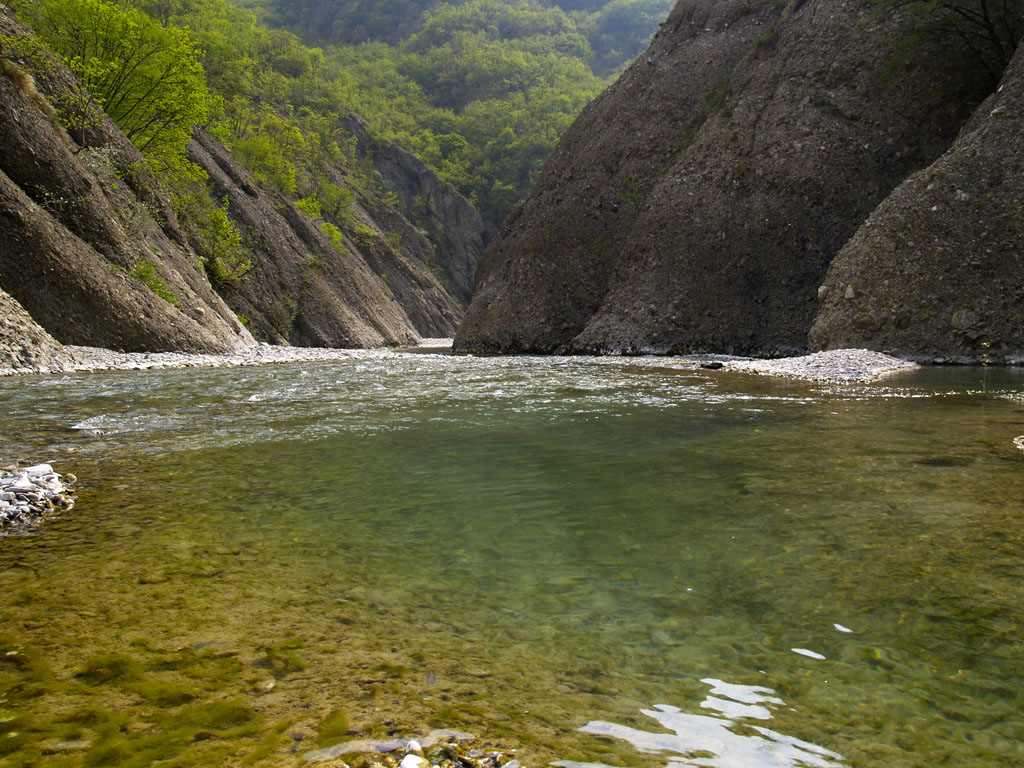
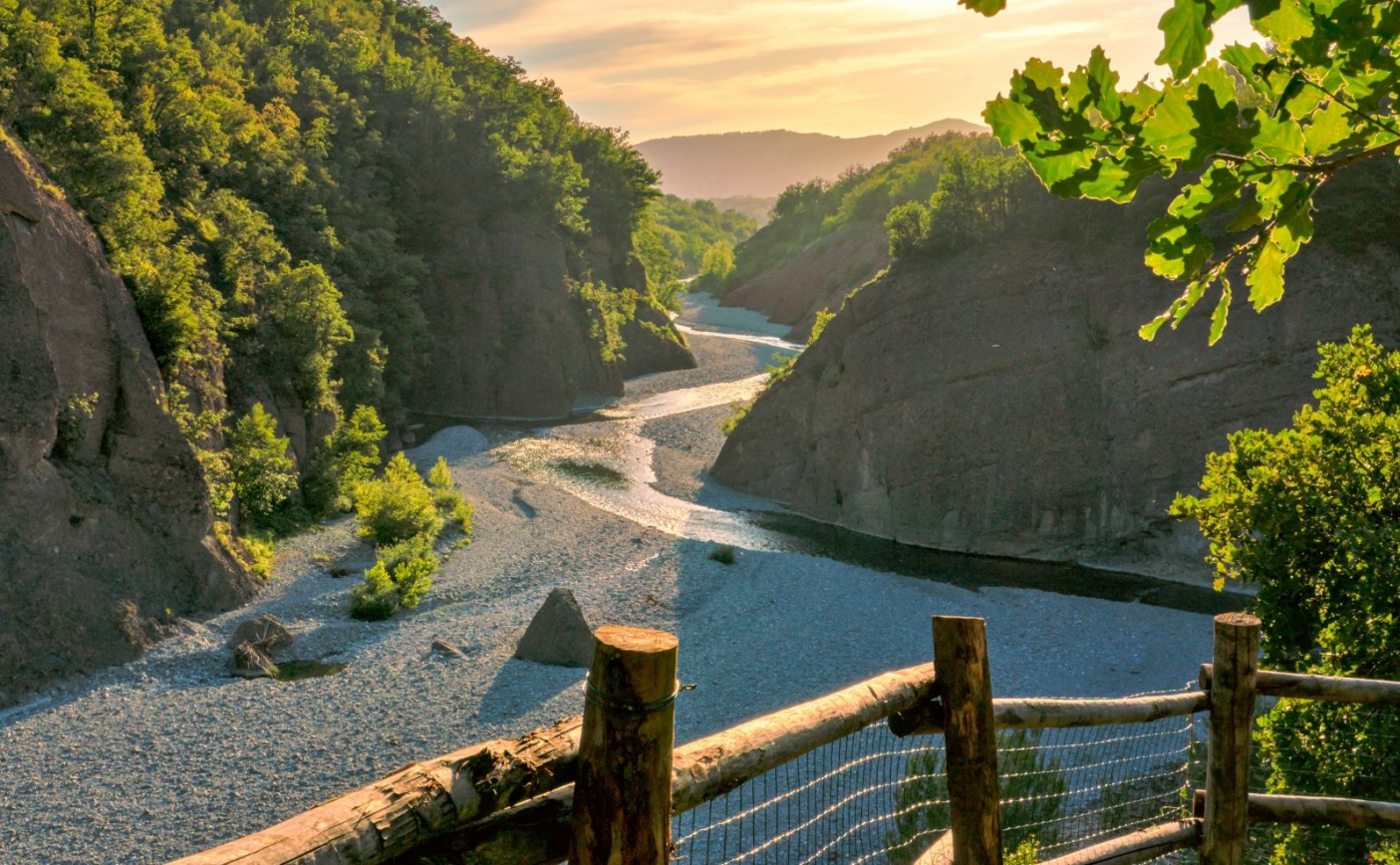
From Arquata, the trail climbs toward Persi and the Borbera stream, as in the summer version, but here it leaves the riverbed and takes a forest path that curves around the castle. The route ascends through beech woods to the Roncoli spring, then continues up a steep track that emerges into a clearing with a wooden lookout tower. At CAI trail 207, turn right and reach Rivarossa — an abandoned hamlet suspended on the ridgeline, with a panoramic chapel and an always-open CAI shelter. From Rivarossa, descend steeply through the forest to the provincial road and Pub La Tana, where it is worth stopping. The next section follows the road along the Strette del Borbera, seen from above: the viewpoints overlooking the gorge and the side valley of the Rio Avi more than make up for the asphalt underfoot. The trail reaches Ponte di Pertuso — descend toward the stream to understand where the partisans held the line in 1944 — and then climbs back up to Colonne before arriving in Cantalupo, where the day comes to an end.
Day 2 – Cantalupo Ligure > Cosola (19 km · Elevation gain +928 m · Elevation loss -436 m)
The journey resumes from Cantalupo Ligure, passing through Albera and climbing toward Vigo and Centrassi along old hillside mule tracks. In Cabella Ligure — the last village with shops — you will find the Museum of Emigration and Palazzo Doria. From here the climb becomes more demanding: the route passes through Teo, the village of Pope Francis’ grandmother, home to an open-air museum dedicated to emigrants, and continues toward Piuzzo along CAI trail 225. The fountains along the route set the rhythm of the day until reaching Cosola, a historic village straddling two hamlets, with the churches of Sant'Antonio (dating back to the year 1000) and Santa Maria Assunta (dating back to the year 1500). A stage immersed in forests and Apennine mountain landscapes, with nearly 1,000 metres of elevation gain.
Day 3 – Cosola > Carrega Ligure, Ridge Variant (19 km · Elevation gain +950 m · Elevation loss -800 m)
The most panoramic day of the trek. From Cosola, the route climbs along a paved road to Capanne di Cosola, then joins CAI trail 200, which follows the high-valley ridges. The trail reaches Mount Cavalmurone and Mount Legnà, offering unique views across four regions — Piedmont, Liguria, Emilia-Romagna and Lombardy — as well as the peaks of the Apennines. Most of the elevation gain is covered during the first part of the day without excessive gradients; after Mount Legnà, the trail descends toward Fontana Cavanna and then down to Connio and Carrega, where the municipal library hosts the Appennino Futuro Remoto project and where we will be accommodated at Tana dei Ribelli.
Day 4 – Carrega Ligure > Dova Superiore (19.5 km · Elevation gain +850 m · Elevation loss -800 m)
After crossing Fontanachiusa, the route descends to Magioncalda and its mill, then continues along a long hillside dirt road that passes through the abandoned hamlet of Chiapparo — a ghost village surrounded by forest. The trail climbs to Vegni and from there to the Agneto Mill, an evocative spot on the Agnellasca stream. The next section ascends toward Agneto and its large covered fountain, then continues climbing along a service road to the San Fermo pass. The descent toward Dova Superiore concludes a transitional stage between the middle and lower valley: the landscapes change, the forests become denser, and the traces of rural life more evident.
Day 5 – Dova Superiore > Roccaforte Ligure (20.8 km · Elevation gain +800 m · Elevation loss -1,000 m)
A long and varied stage. From Dova, the route descends to Casalbusone and Gordena, then continues toward Canarie with its large abandoned church. The trail climbs to the Bossola Mountain Saddle and descends to Prato and Cavanna, small and peaceful villages. From Mongiardino — home to the historic Morando restaurant — the route follows the stream through fords and gravel banks as far as the Pravaglione mill. The final ascent leads to Montemanno and its sanctuary, then continues along CAI trail 266 to Borassi and Roccaforte Ligure. This is the day with the greatest overall descent: we are almost back to the plains.
Day 6 – Roccaforte Ligure > Persi (18.5 km · Elevation gain +550 m · Elevation loss -1,000 m)
The final stage completes the loop. From Borassi and Roccaforte, the route reaches Mount Osesa and Mount Castagnaro, whose very name bears witness to how chestnut cultivation has shaped the landscape for centuries. Through forests and ridgelines, we descend to Cerreto Ratti, where we will once again cross the Bormida River and return to the starting point. A total of one thousand metres of descent, to be tackled at a relaxed pace and with the awareness that the journey ends where it began — but the person who walks is no longer the same.
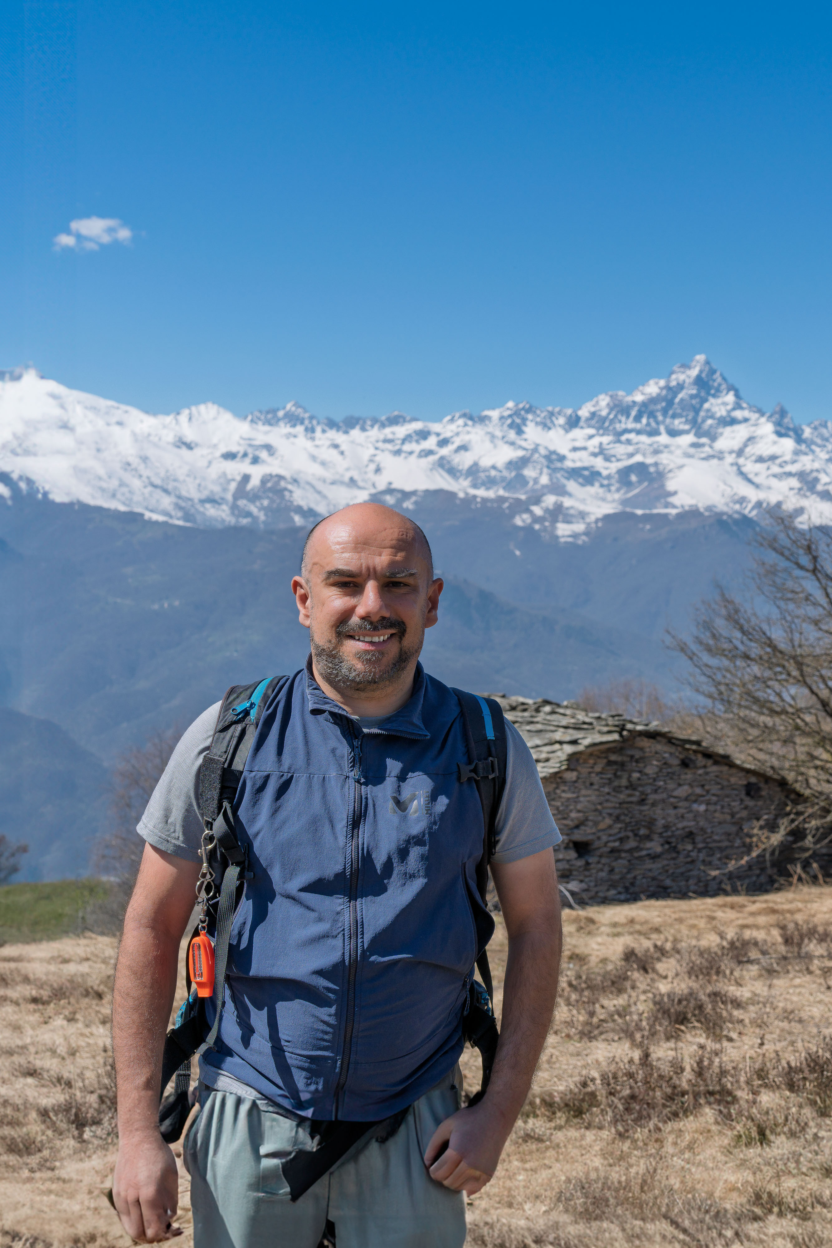
Alessio Lagonigro has been a science communicator and environmental activist since the early days of the Italian Extinction Rebellion movement. As an environmental hiking guide, he holds a Master's degree in Science Communication from the University of Parma.
With AlpWalking, he designs excursions, hikes, and treks that combine nature, adventure, and community. He brings outreach in person, out of the classroom: outings to discover biodiversity, to experience nature in the field. These are slow-paced journeys, designed for those who want to enjoy nature without rushing and the company of those walking alongside them, setting out as a group of strangers and returning as a community.


Booking Info
Ready to go? Just the usual doubts?
How do I know if a trip is confirmed?

What is the average age of participants? Are there age limits?
Is the flight to the destination included in the trip?
What are the exact arrival and departure times?
Is vegan/vegetarian food available? What about celiac disease?
When is the trip officially confirmed?
Can I travel with the creator? What transport does the creator use, and from where?
Why is the trip booked through Apical Booking?
Don’t listen to us, listen to them 🤩 😍 😎
We set out with the curiosity of explorers and return as traveling companions united by those who have found common passions and true friendships.
Check our reviews out ⭐⭐⭐⭐⭐
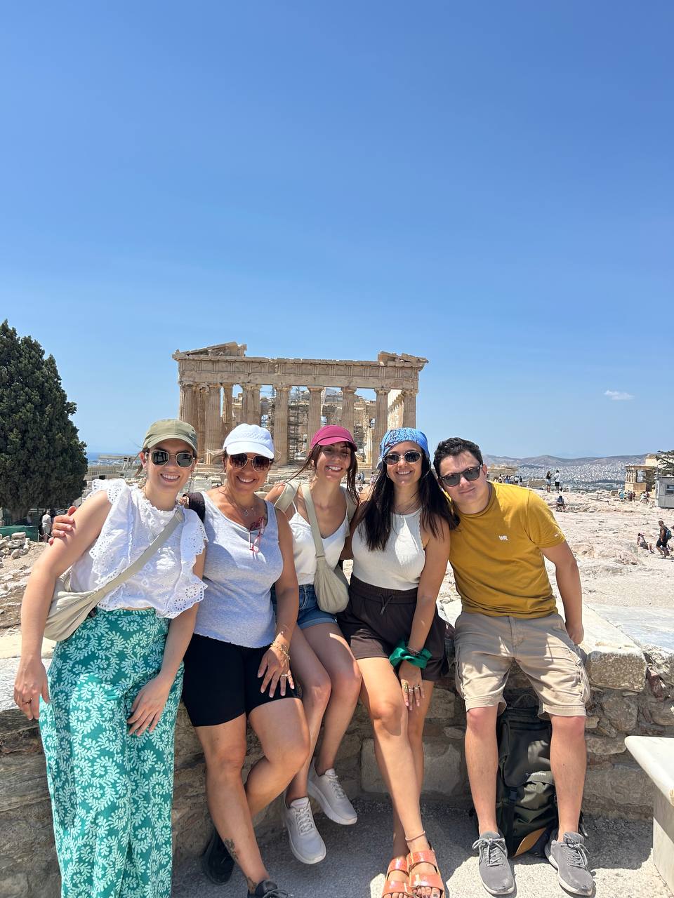
Greece
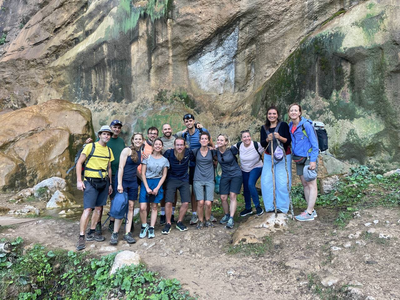
Sarajevo, Bosnia and Herzegovina
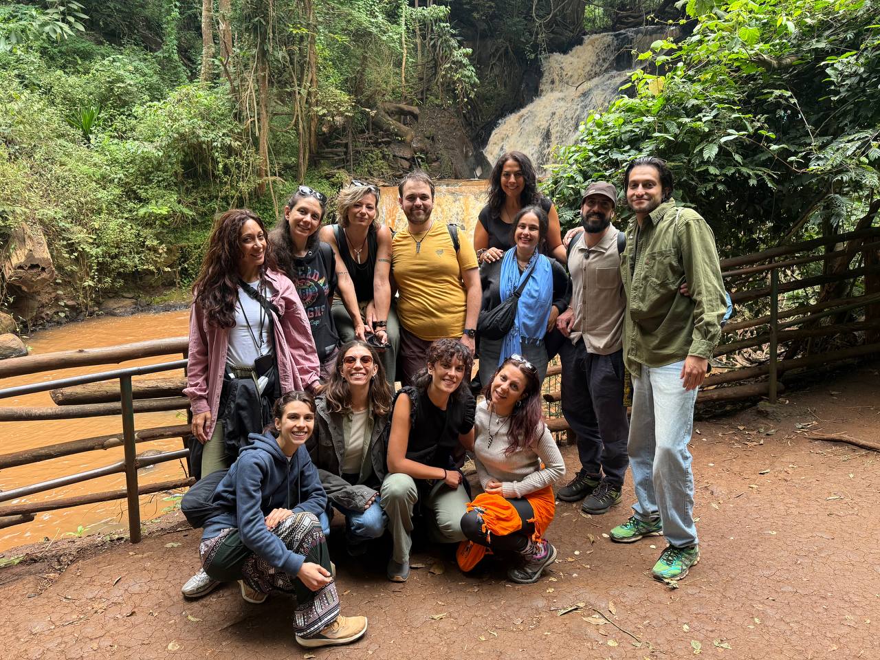
Kenya

Rome, Italy

Bruxelles, Belgium

Abruzzo, Italy
